Pegase Application : Adour-Garonne (Fr)
| Year of design: | 2011 |
|---|
| Description: |
The collaboration between the Adour-Garonne French Water Agency (AEAG) and the PeGIRE laboratory of the AquapĂ´le (former CEME) for the application of Pegase to its watershed has started in 2003 by the development of a pilot application of the model to the whole watershed.
This application has been regularly updated, modelled network and pressure data. In 2011, the application models 40 990 km of rivers (network of 2 551 rivers) for 116 800 km² watershed (catchments of Adour, Garonne, Dordogne, Charente and smaller coastal catchments).
AEAG use the Pegase model themselves since 2005 via a remote connection to a Unix server in the AquapĂ´le premices. They use the PegOpera version on their own PC since 2013.
|
|---|
| Basin View*: | 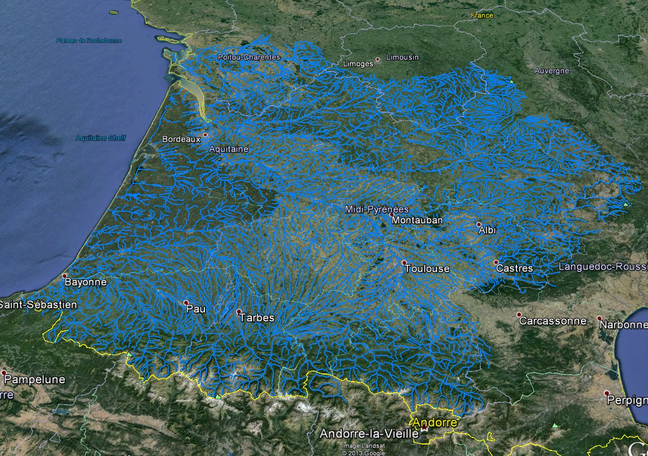
|
|---|
| Competent Authority: | Adour-Garonne French Water Agency |
|---|
| Watershed: | 116800 km2 |
|---|
| Rivers: | 2551 (40990 km) |
|---|
| Pegase Nodes: | 103788 |
|---|
| History: | Adour-Garonne 2005
Current Basin
|
|---|
* Images realised with Google-Earth™ and ArcGIS™