Pegase Application : Mosel river
| Year of design: | 2004 |
|---|
| Description: | After the development of the application of the Pegase model on its managed watershed since 1993, the French water Agency Rhine-Meuse (AERM, Fr) proposed, in 2002, to the International Commissions for the Protection of the Mosel and Saar Rivers (CIPMS/IKSMS) to consider a method to assess the impact-pressures relationships by the application of the Pegase model to the whole watershed of the Mosel and Saar Rivers. This watershed of 28 156 km² spreads over 4 countries: France (56.5%), Germany (30.9%), Luxemburg (9.8%) and Belgium (2.8%).
The data from 4 member states have been aggregated after being reprojected from national reference system to the GISCO specified geographical reference system. The application finally counts 247 rivers for 6 570 km. |
|---|
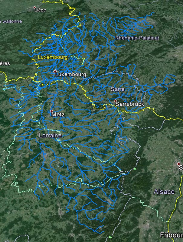
| Basin View*: | 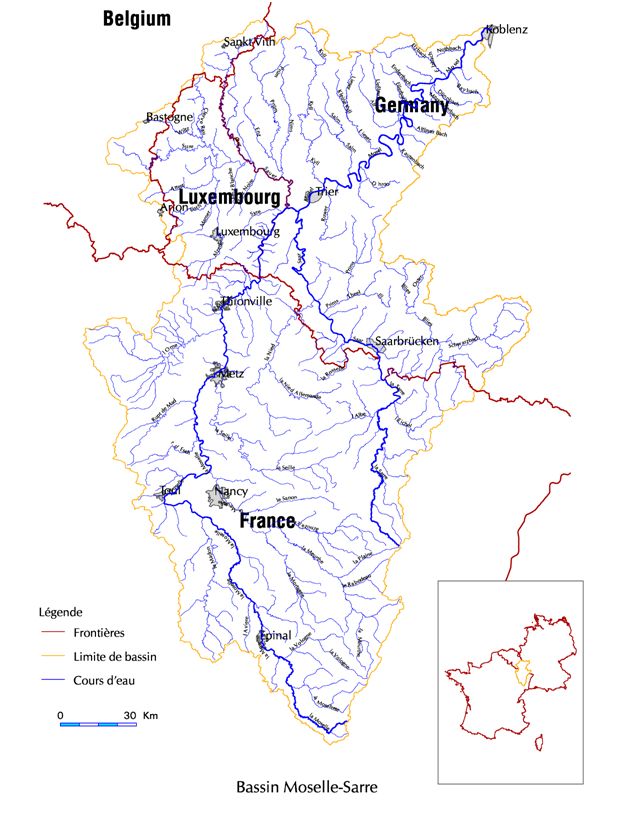
 |
|---|
| Competent Authority: | International Commission for Mosel and Sar Rivers Protection |
|---|
| Watershed: | 28000 km2 |
|---|
| Rivers: | 840 (9000 km) |
|---|
| Pegase Nodes: | 44000 |
|---|
| History: | Upper Sauer River 2011
|
|---|
* Images realised with Google-Earth™ and ArcGIS™