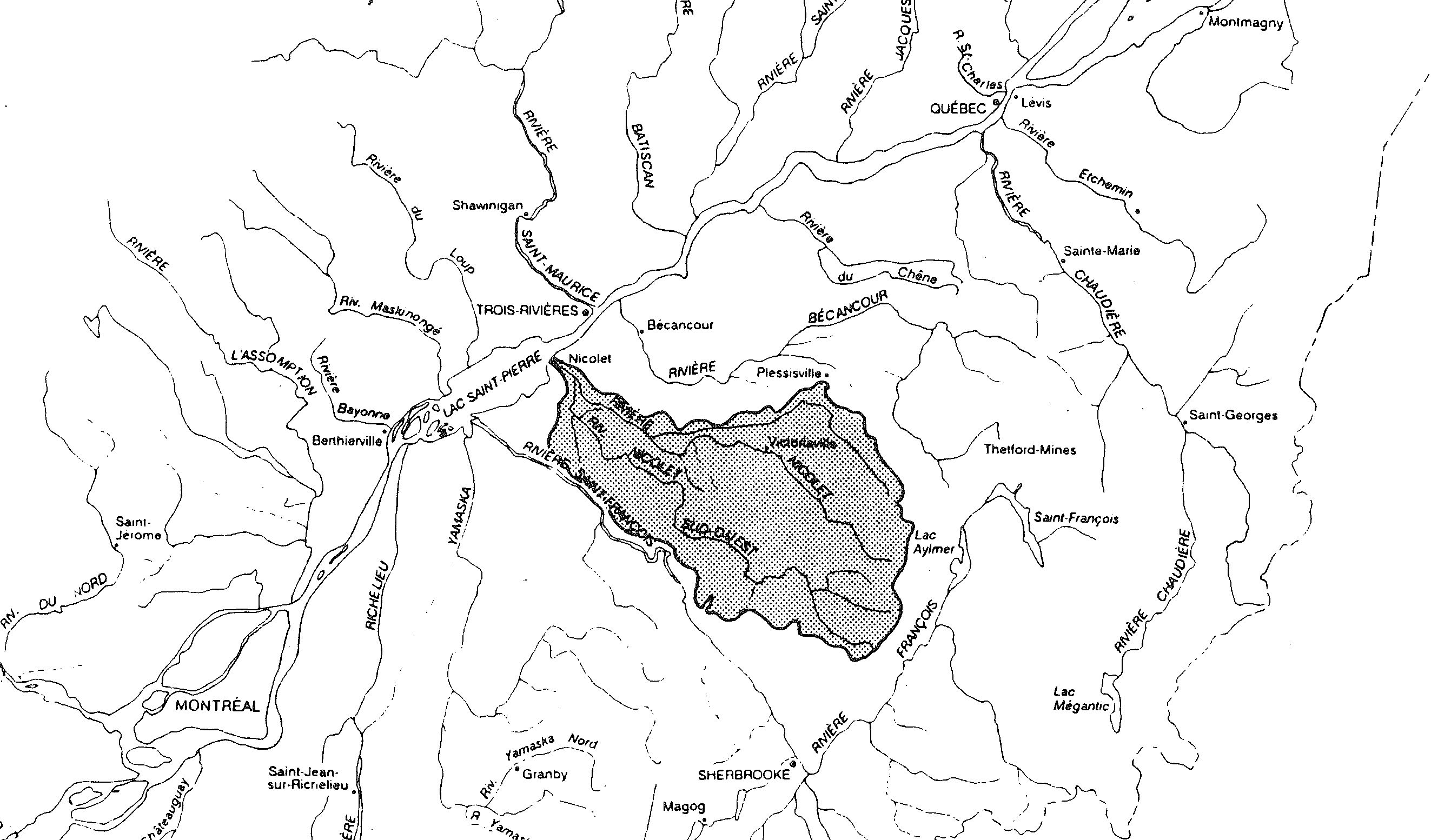
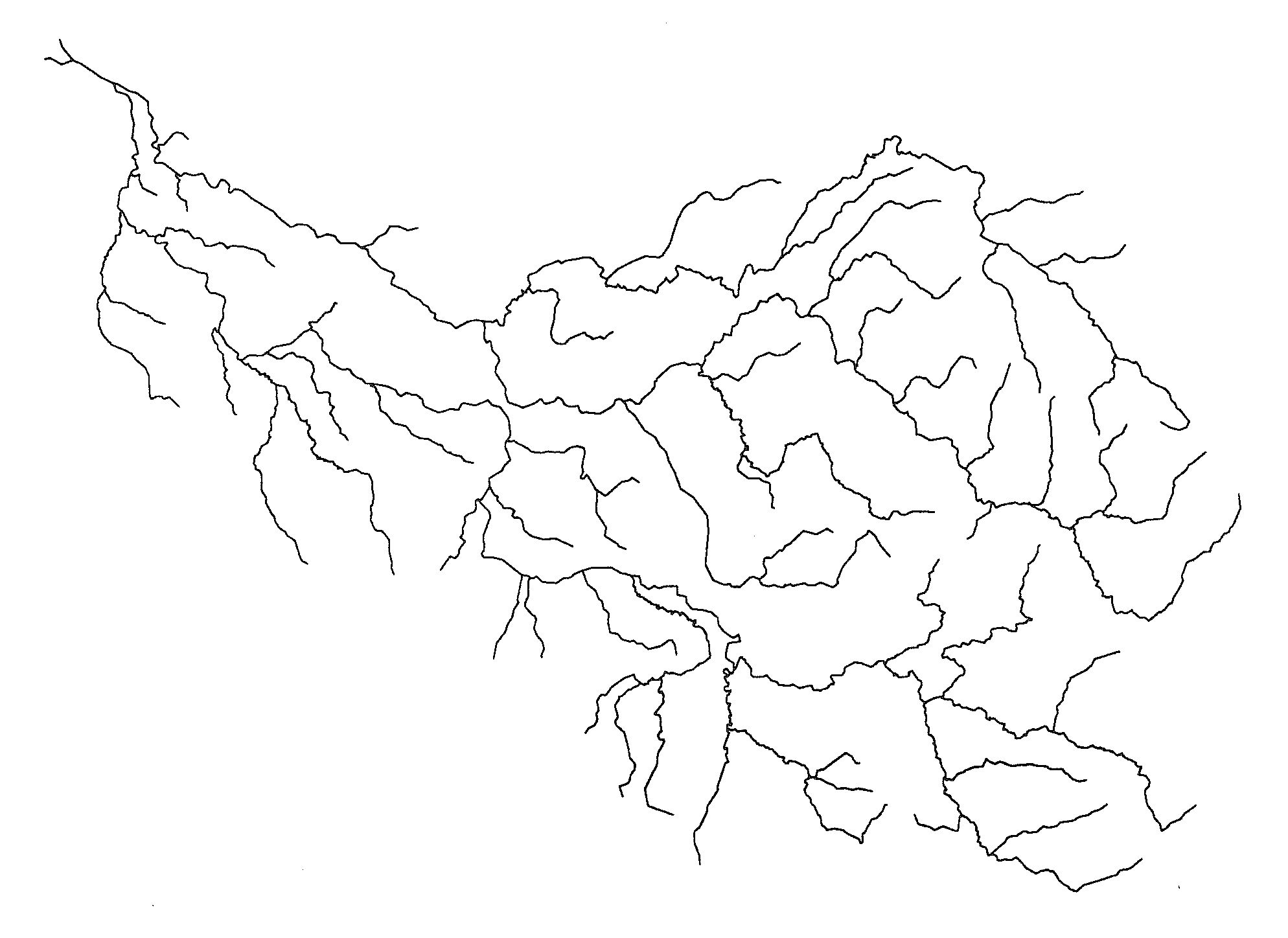
Pegase Application : Nicolet River (Canada)
Year of design: | 1994 |
Description: | A collaboration between the Ministry of Environment of Quebec and Aquapole (formerly CEME) between 1993 and 1994 led to the application of the Pegase model to the watershed of the Nicolet River (about 3 000 km² located southward of the Saint-Laurent River, between Québec and Montreal). |
Basin View*: |
 |
Competent Authority: | Ministry of Environment of Quebec |
Watershed: | 3000 km2 |
Rivers: | 60 |
* Images realised with Google-Earth™ and ArcGIS™