Pegase Application : Upper-Wisla (Poland)
| Year of design: | 2006 |
|---|
| Description: | On proposal of the International Water Office (OIEau) in 2006, a test application of Pegase has been implemented in Poland, on the watershed of the Upper Vistula River. The implementation has been realised in collaboration with two Polish Water Agencies: RZGW Gliwice and RZGW Cracow. The agencies were in charge of collecting the required data and to validate input data and simulation results. They installed 2 PC with internet connexion to remotely use the model.
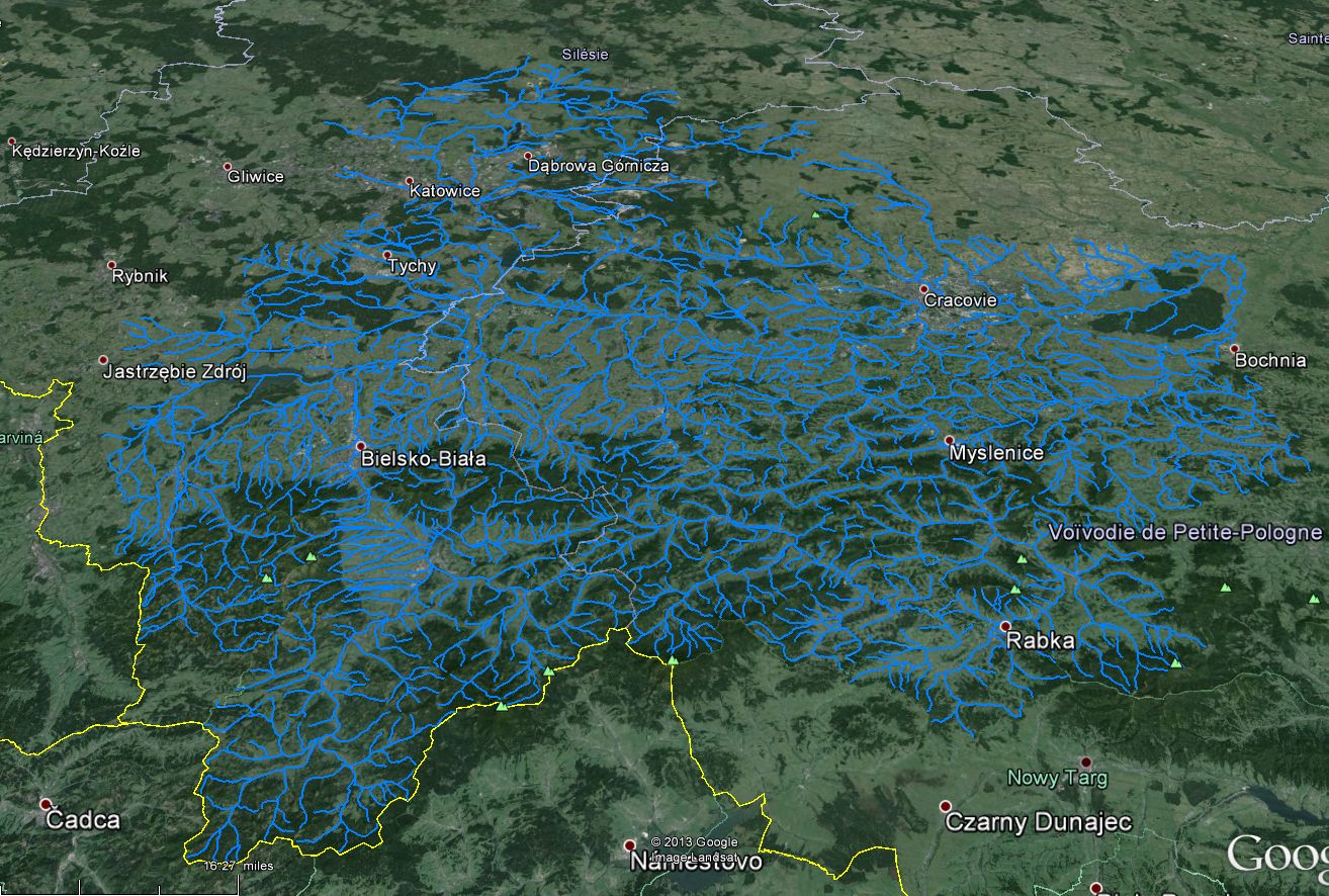
The database counts 1025 rivers (6755 km) in a watershed of 9150 km², belonging to the international district of the Vistula River Basin (aka Wisla River). |
|---|
| Basin View*: | 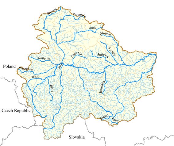
 |
|---|
| Competent Authority: | RZGW Gliwice & RZVW Cracow |
|---|
| Watershed: | 9150 km2 |
|---|
| Rivers: | 1000 (6800 km) |
|---|
| Pegase Nodes: | 35000 |
|---|
* Images realised with Google-Earth™ and ArcGIS™