Pegase Application : Rhine-Meuse
| Year of design: | 1995 |
|---|
| Description: | The French water Agency Rhin-Meuse (AERM) has initiated the development of the second version of Pegase, using a GIS (Arc-Info) to process carthographic input data and present the results (years 1993-1995).
The collaboration between AERM and Aquapole keeps going, either to enhance the Rhine-Meuse application, or when participating to transnational watershed modelling (Chiers, Mosel, Meuse), to help in software development (phytobenthos, PegOpera, …) or to support PhDs.
Currently, the simulation domaine Rhine-Meuse models 13 560 km of rivers (network of 1 058 rivers) for 34 000 km² watershed, located in the international hydrographic districts of the Meuse River and the du Rhine River (Mosel, Rhine).
AERM use themselves the Pegase model since 1995, first on a dedicated Unix workstation located in the Agency premices. They use the PegOpera version on PC since 2011.
|
|---|
| Basin View*: | 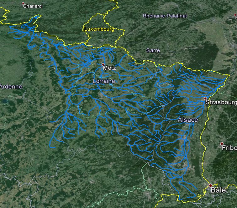
|
|---|
| Competent Authority: | Water Agency Rhine-Meuse |
|---|
| Watershed: | 29690 km2 |
|---|
| Rivers: | 207 (6339 km) |
|---|
| Pegase Nodes: | 12069 |
|---|
| History: | Current Basin
Lower Rhine River 1996
Rhine-Meuse 2002
|
|---|
* Images realised with Google-Earth™ and ArcGIS™