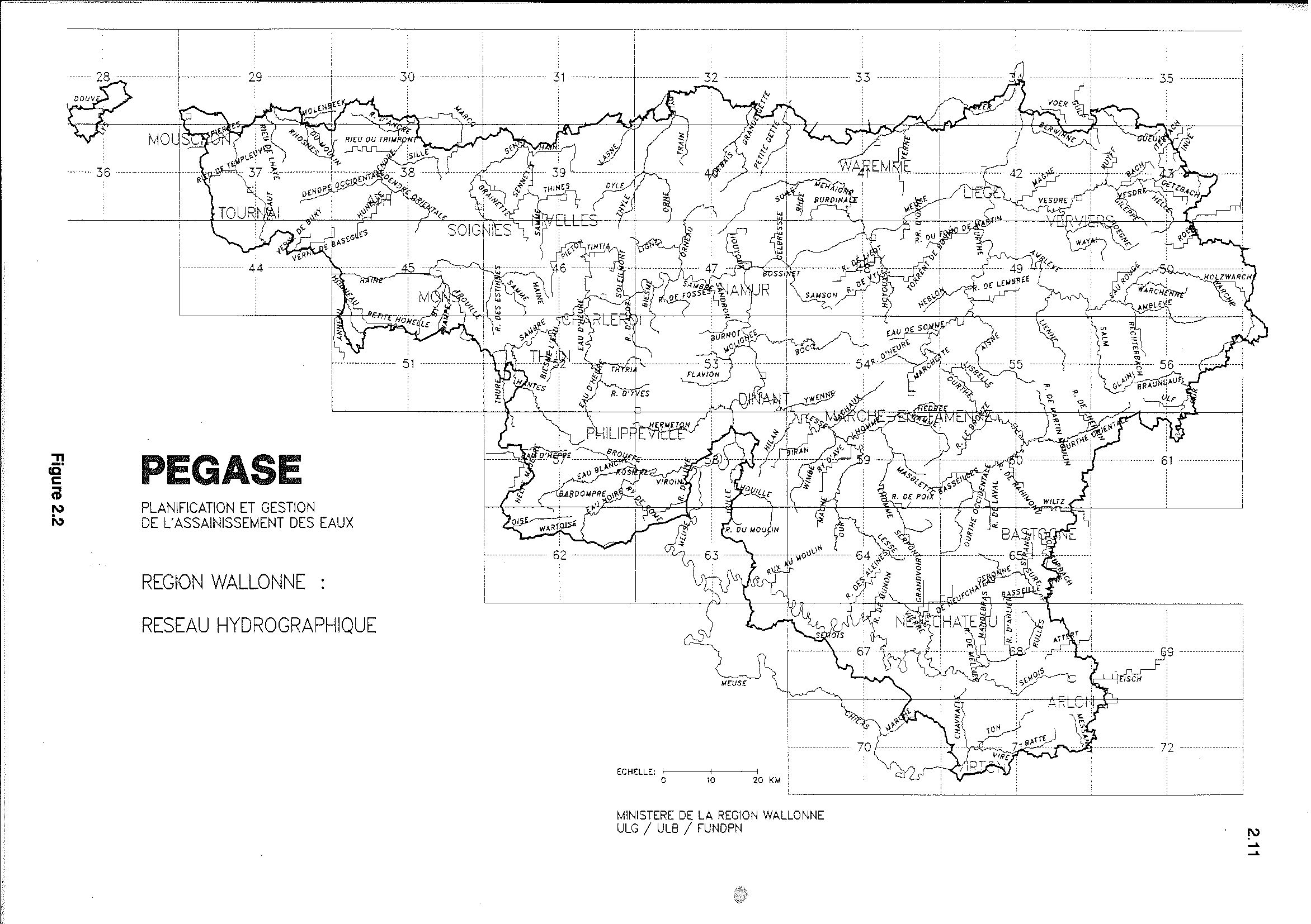
Pegase Application : Walloon Region

Year of design:1991
Description:Modelling of Water Bodies managed by the Public Service of Wallonia in order to estimate the effects of the base and complementary measures to comply with the WFD 2000/60/CE
Basin View*:Vue du bassin
Competent Authority:Wallonia Public Service (SPW)
Watershed:19450 km2
Rivers:178 (4051 km)
Pegase Nodes:4525
History:Current Basin
Walloon Region 1998
Eau d'Heure River 2003
W.R. Pirene Meuse 2004
W.R. Pirene Scheldt 2004
Walloon Region 2006
Geule River 2006

* Images realised with Google-Earth™ and ArcGIS™