Pegase Application : Seine-Normandie (Fr)
| Year of design: | 2018 |
|---|
| Description: | In 2018, the french Water Agency "Seine-Normandie" has been obliged to change its river quality modelling software. They have adopted Pegase as a replacement for Seneque, thus joining four other french water agencies.
Based on the layers that were used in Sénèque, the Seine and Normandy watershed have been modelled.
Although it is slightly smaller than the Loire River basin, due to the high resolution of nodes (one every 200m) it represents the biggest database modelled with Pegase, with its 163000 nodes. |
|---|
| Basin View*: | 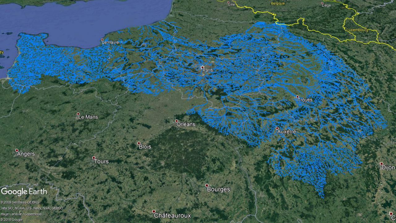
|
|---|
| Competent Authority: | AESN |
|---|
| Watershed: | 95000 km2 |
|---|
| Rivers: | 5000 (36500 km) |
|---|
| Pegase Nodes: | 163000 |
|---|
* Images realised with Google-Earth™ and ArcGIS™