|
|
|
|
|
|
|
|
|
Pegase Application : French Britain
| Year of design: | 2005 |
|---|
| Description: | The collaboration between the Loire-Brittany French Water Agency (AELB) and the PeGIRE laboratory of the Aquapôle (formerly CEME) for the application of Pegase to their bassin has started in 2000 by a 'pilot' application of the model to the Cher River watershed (15 000 km²).
following the positive assessment of the pilot application, AELB have asked to develop an application for their whole watershed. Considering the size of the watershed managed by the Agency, three separated applications have been created in 2005: One for Brittany (534 rivers, 8 321 km), one for Vendée coastal rivers (112 rivers, 2 184 km) and one for the Loire River basin (1 125 rivers, 27 750 km).
After this first application, the geographical databases have been regularly updated to consider all the waterbodies in the watershed. In 2011, they were:
-
Loire: 51 720 km of rivers (network of 5 560 rivers), for 118 000 km² watershed
- Brittany: 14 170 km of rivers (network of 1 910 rivers), for 30 060 km² watershed
- Vendée: 3 890 km of rivers (network of 501 rivers), for 8 660 km² watershed
In 2020, a fusion of the 3 domains has been realised, with a new digitisation of 500m spatial mesh and nodes every 200m for the whole watershed. A few rivers have been added.
The result is a network of 8495 rivers for a total length of 73 300 km in a watershed of 155 000 km² leading to nearly 327 000 Pegase nodes.
AELB use the Pegase model by themselves since 2005, first via a remote connection on aa unix server located at AquapĂ´le premices, then, since 2011, on their own PCs with the PegOpera version.
|
|---|
| Basin View*: | 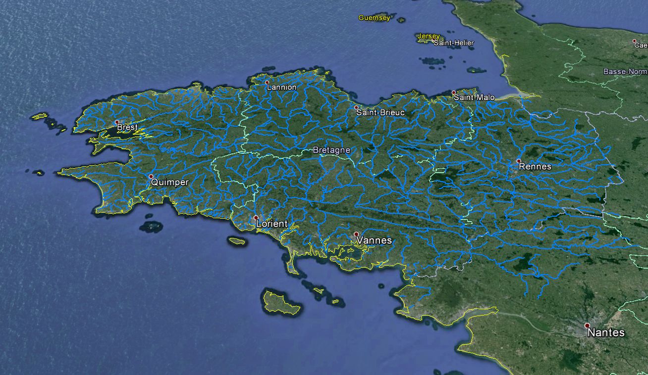
|
|---|
| Competent Authority: | Water Agency Loire-Bretagne |
|---|
| Watershed: | 30080 km2 |
|---|
| Rivers: | 534 (8290 km) |
|---|
| Pegase Nodes: | 41733 |
|---|
| History: | Cher River 2002
Loire River 2005
Current Basin
Vendea 2005
Loire River 2012
French Britain 2012
Vendea 2012
|
|---|
* Images realised with Google-Earth™ and ArcGIS™
|
|
| |