Pegase Application : Scheldt River
| Year of design: | 2006 |
|---|
| Description: | The Vlaamse Milieumaatschappij (VMM, Flanders, Be) initiated, in the frame of a European LIFE project from 1993 to 1996, in collaboration with the Wallonia Public Service (SPW, Be) and the French Water Agency Artois-Picardie (AEAP, Fr), a first Pegase application on the basin of the Scheldt River (19 320 km2). This first trans-national application was run with the steady-state version of the model. The number of simulated rivers was 113 (3120 km).
In 2005 and 2006, the SPW, with (in addition to VMM and AEAP) the support of Brussel's institute for Environment Management (IBGE, Be) initiated a complete update of the first application. The new application extends now to 20 020 km2, and models 858 rivers (8 702 km).
|
|---|
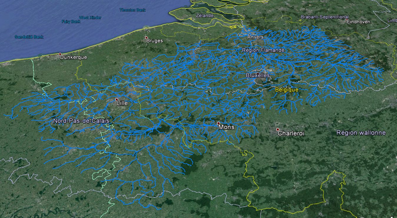
| Basin View*: | 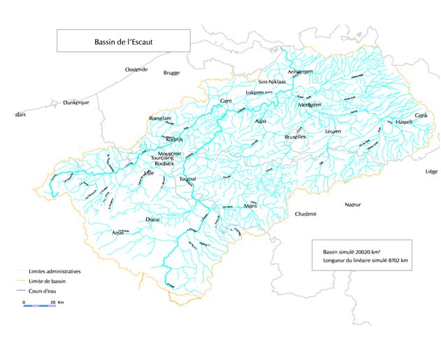
 |
|---|
| Competent Authority: | Scheldt International Commission |
|---|
| Watershed: | 20000 km2 |
|---|
| Rivers: | 860 (9000 km) |
|---|
| Pegase Nodes: | 44000 |
|---|
| History: | Scheldt River Life 1996
|
|---|
* Images realised with Google-Earth™ and ArcGIS™